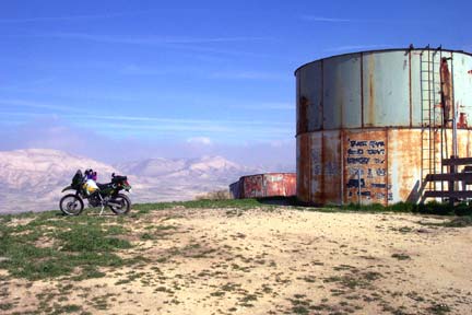
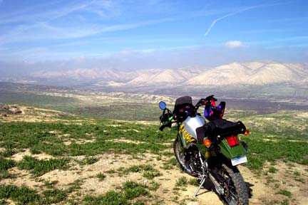
Elkhorn-Soda Lake Crossover
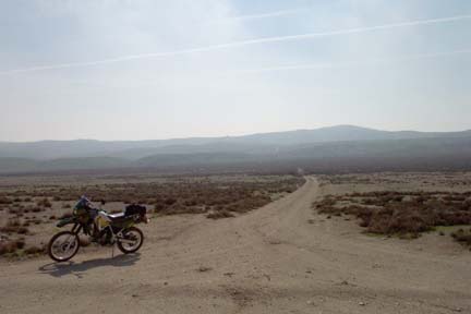
It runs from N 35° 02.283 W 119° 33.472' , a point about .6 miles North of the Padrone Canyon road intersection on Soda Lake Road, to this point on Elkhorn Road at N 35° 03.717 W 119° 32.233' It's about 8 miles from here back to Soda Lake Road via Elkhorn.