
 |
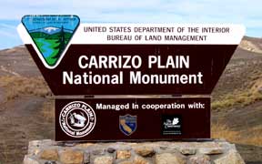
Carrizo is a Spanish word referring to a type of reed grass. We often hear it mispronounced as either Carissa (girl's name) or chorizo (a spicy sausage). Known only 150 years ago as K'o'owshup to the Chumash, the area was set aside as a National Monument by former President Bill Clinton in January, 2001.
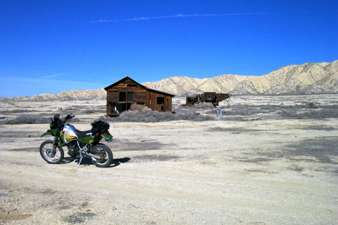
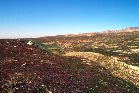
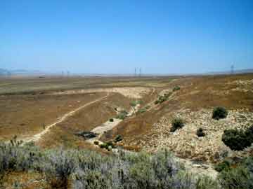
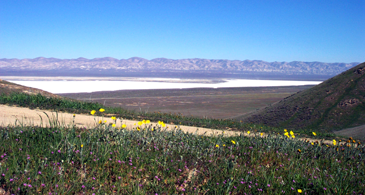
Aside from the riding, there is plenty to see and do. The historically minded can find lots of old buildings , farming implements, and Native American sites. For those with a geological bent, you can see evidence of past volcanic processes like this volcanic neck, and of course the San Andreas fault leaves it's unmistakeable mark throughout the area, such as at this sag pond or Wallace Creek on the East side. In the Spring after a good rainy season there are plenty of wildflowers. Wildlife viewing can also be quite fruitful if you know where to look!
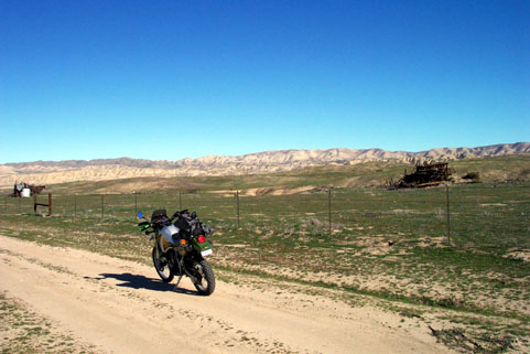
The best riding times are in the early Fall and late Spring, before and after the rains. The area should be avoided by those not comfortable in desert environments during the months of July and August. Temperatures can soar to well over 100 degrees out here during those months. It is rideable, but be prepared for all occurances. There are no phones, no potable water, no food, no fuel, and no trash cans. Privvies are located only at Traver Ranch, Selby Camp, KCL Camp, and the Goodwin Education Center. The ground is very spongy in the middle part of the Plain, and impassable, even with a dirt bike, when wet in the winter months.
other stuff:
Since the area is now a National Monument, vehicles are restricted to existing roads. None of the riding here is advanced, and most can be handled by beginners. Consider this a scenic ride, not a technical one. Stay on existing roads. Read BLM's ethics page.The area is patrolled by BLM rangers. Ask if you are uncertain about where and where not to go. They are good people and kindly, as long as you are obeying the laws. They don't want this area torn up any more than you do.
You can enter the National Monument from the North end (California Valley) on Highway 58 or the South end (Cuyama Valley) on Highway 166.
Hwy 58 has two entrances at 7 Mile Road 18 miles West of Hwy 33 and at Soda Lake Road 52 miles East of Santa Margarita. You can enter from Hwy 166 at Soda Lake Road at a point 15 miles East of New Cuyama and 10 miles West of Maricopa. You can also pick up Elkhorn Grade Road from Hwy 33 (N35° 2.51' W119° 25.22') 2 miles West of Maricopa. This brings you up to the Beam Flat area at the South end of the monument. Elkhorn Grade is a dirt road, and is closed during rainy months.
Dual sporters can park their trucks/rigs in California Valley, Maricopa, Taft or Cuyama areas where there are services and ride into the monument, or drive right in. Parking is very limited. You can park your rig only as far off the main roadways so as not to impede traffic. This usually means no more than 2 feet off the road! There are also a few areas such as Hanline Ranch and the campsites that have a little more parking room. There are areas of private property within the boundaries of the National Monument. Check this map for reference. Print yourself a copy of the Geologic Tour PDF before you go, and learn something along the way!
The pages on this site are intended to preview the main roads in the National Monument. There are lots of other roads to explore and I don't want to ruin the experience for you by being overly thorough! This site is a work in progress, and will be added to as I get to it. The monument is the largest concentration (13 so far) of endangered species in the entire state. Enjoy K'o'owshup, don't destroy! Let it be.
Be sure to visit Pashnit.com for other California Motorcycle routes.
Update: 5/14/06. I have a new page for "updates". Click here.
The weather page has been update. New graphics and links that work.
NEW: I'm working on developing GPS information for the National Monument. Contributions accepted!
Bureau of Land Management links:
BLM Home Page for Carrizo Plains National Monument
Maps:
Special resources:
- Visitor services
- Biological resources
- Historical resources
- Geological resources
- Self Guided Geologic Tour of the Plains (pdf)
- Recreation and wildflowers
- BLM information: (661)-391-6089
|
|