|
|
|
|
|
 |
|
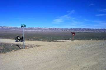
| Hurricane Road traverses the Temblor Range between Carrizo Plain and Fellows, California. The intersection on Elkhorn is shown here at a point 24.5 miles North of the Elkhorn-Soda Lake Road intersection, or 13.5 miles South of Hwy. 58 at N 35° 11.894' W 119° 42.875' . |
|
|
 |
|
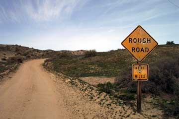
| I drove partway up Hurricane on 2/1/03. Contrary to the sign, the road seemed recently graded. Though some of the road is steep, I couldn't call it rough. |
|
|
|
|
 |
|
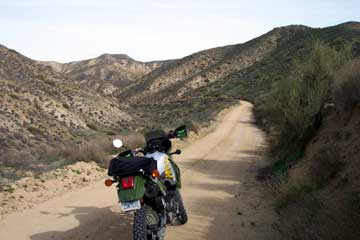
| The view at the right is less than .5 mile in. The canyon here is narrow, following a small creek bed on the left side of the picture. The roadway is gravelly in some spots, and the first 1.5 miles are a relatively shallow slope. |
|
|
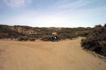
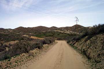
| After passing through the canyon above, the road opens up a little at about 1 mile East of Elkhorn. The Temblors are rugged and dry, even in Winter. At left you can see the road bending to the left where it passes around the knob in the center of the picture. |
|
 |
|
 |
|
|
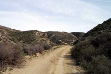
The photo at the right is taken just a little over a mile up Hurricane from Elkhorn. Just ahead you can see the first of several switchbacks that take you up and over the ridge in the background. There is more rugged country over this ridge. I didn't have time on this particular day to take any more pictures. Stay tuned. |
|
|
|
|
|
|
|
|
|
|
|
|
|
|
|
|