|
|
|
|
|
|
|
 |
|
|
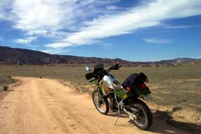
Padrone Canyon is an easy 10 mile in and out, but well worth the ride for the spectacular scenery and views of the Carizzo. There is a way to 'sneak out' without backtracking. The flats are good prospects to see pronghorn, elk, coyote and the other 'usual suspects'. The ground is firm when dry, but sticky when wet. |
|
 |
|
|
|
|
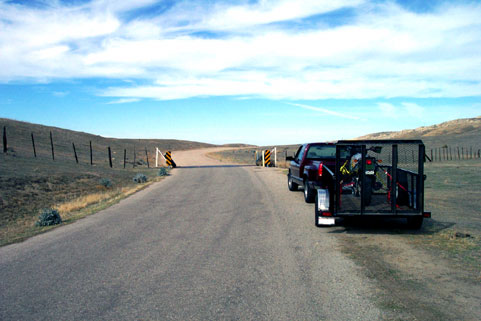
| The entrance to Padrone Canyon begins at N 35° 01.737 W 119° 32.809' , 0.2 miles beyond the cattleguard (left) that marks the end of the paved portion of Soda Lake Road at the South end of the Plains. This location is just beyond the Hanline Ranch. |
|
 |
|
|
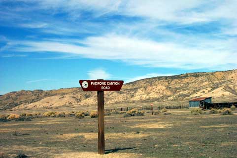
At a point 5.4 miles north of Hwy 166, you'll find the road marker shown at right. The marker is on the East side of Soda Lake Road |
|
|
 |
|
|
| <--The canyon entrance, just off Soda Lake Road, looking West. I love this view. |
|
|
|
 |
|
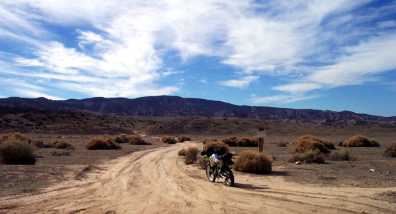
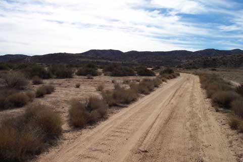
| After leaving Soda Lake Road, this is the view around the first bend. The road across this flat is typical of most of Padrone Canyon Road, at least as far as the Spring. |
|
 |
|
|
|
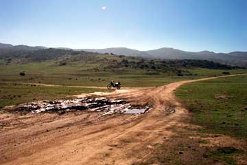
| This unmarked connector is 1.0 mile in from Soda Lake Road, and goes over to Quail Springs Road. It's just a short hop over there, but a fun ride.You'll come to a gate. After passing through the gate it's only about 0.1 mile to the intersection with Quail Springs Road. Left at that intersection takes you back down to Soda Lake, right takes you up a hill and around a corner to another "Y". Right at that "Y" takes you 1.6 miles up to the Quail Springs summit, left takes you on over to Pipeline Road. |
|
|
|
 |
|
| You'll come to this cattle gate about 3 miles in. It's not locked, but as with all stock gates, please leave it in whatever position you found it after you pass through! ---> |
|
 |
|
|
|
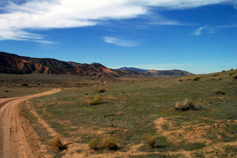
| <--Looking NorthWest just after passing through the gate. The steep, deeply eroded canyons along the bluff to the left are very red in color and impressive to see |
|
|
|
|
 |
|
|
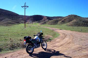
| Near the head of the canyon, you come up to this powerline. This is a '4-way'. You can't see it all in this photo. Left takes you 0.2 miles up to Lawson Spring. Right takes you down the pole line a half mile, then breaks to the left (North) over to Traver Ranch, (read "sneak out"). If you go straight, you can go up the ridge in the background, or take a cool drop over the other side toward the Cuyama Valley (there's no legal outlet to Cuyama). That spur (see below) has some steeper parts: intermediate skill required. |
|
|
 |
|
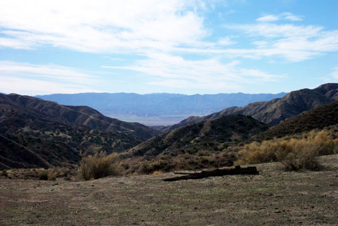
| Taking the "straight" way mentioned above, you go up and around to the left, behind the spring to the ridge in that photo. The spur mentioned goes down this canyon. Go for it. Steep and narrow in some places, but definitely fun. Proceeding left at this point dead ends a little farther up the ridge. |
|
|
|
|
|
|
|
|
|
|
|
|
|
|
|
|
|
|
|
|
|
|
|
|
|
|
|