| Caliente Ridge Road/Selby Camp
|
|
|
|
 |
|
|
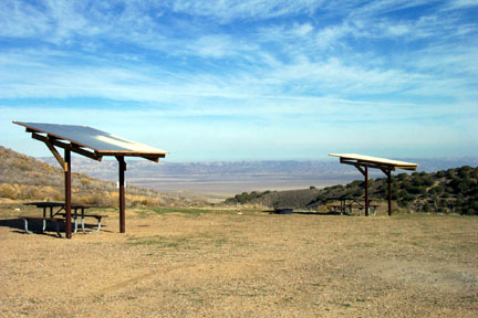
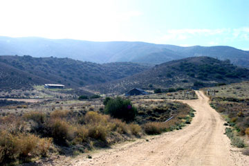
| At N35° 10.923' W 119° 50.691' , a point appoximately 29 miles North of Hwy 166, or 0.7 miles South of the Goodwin Education Center, you will come upon the turn off for Caliente Ridge Road and Selby Camp. The picture at the left is the view of the Plain from Selby Camp, which is at the end of the road about 5 miles in at N35° 07.699' W 119° 50.457' |
|
|
|
|
 |
|
|
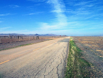
The Road is well marked. The entrance is shown here at the center of the photo. Pass through the metal gate, which will probably be open, and proceed Southwest.
|
|
|
|
 |
|
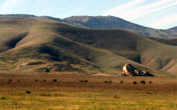
| One of the views you'll see to the West is this one, about 2.0 miles up. This monolith is a very old Native American historic site. It is accessible by foot from the Goodwin Education Center. |
|
 |
|
|
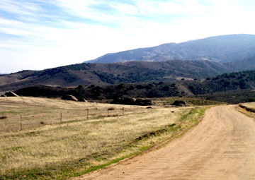
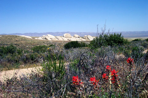
After passing the Painted Rock, and going up and over a small hill, you'll come to the area known as Selby Rocks. I've seen antelope here on more than one occasion. (see photo below). Here's another view of the Selby rocks from the other side, on the way into the camp. |
|
|
|
 |
|
| At about 4.5 miles up the road you come to this Y at N35° 08.012' W 119° 50.412' Caliente ridge road goes straight ahead to a parking area. There is a steep grade on this route. Be careful.
Selby Camp is 1 mile down the left fork here.
|
|
 |
|
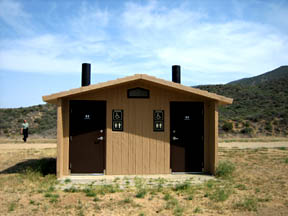
| Selby Camp is a small but well maintained camp with a great view of the Plain below. There 13 covered picnic tables with firepits. There is a vault toilet at the site There are NO trash cans here. Pack your trash out. The water source that was once here is not available anymore. |
|
|
|
I photographed these pronghorn antelope on the flat at Selby Rocks. They are known to frequent this area.
|
|
|
 |
|
|
|
|
|
|
|
|
|
|
|
|
|
|
|
|