7 Mile Road
From here you can take Elkhorn 2.8 miles to Simmler Road, 13 miles to Panorama Road, or 38 miles to Soda Lake Road at the South end of the Monument.
|
|
|
7 Mile Road
|
|
||||||||||
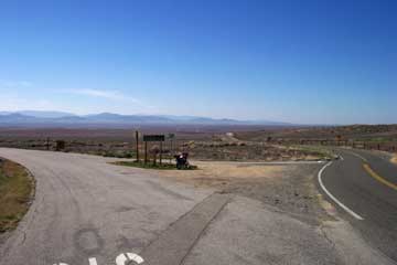
| Seven Mile Road connects Soda Lake Road and Hwy 58. Just 0.2 miles West of the 58 intersection is the Northern terminus of Elkhorn where it T-bones into 7 Mile Road. Thi pic at right is the Soda Lake Road intersection--> | |||||||||||
|
|||||||||||
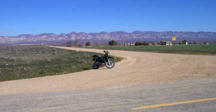
| The West end of 7 Mile Road (which really is seven miles long) leaves Soda Lake Road, from a point 8 miles South of the Hwy 58-Soda Lake Road intersection. 7 Mile leaves Soda Lake Road to the left center of this photo. Just under the powerlines seen in this picture is the National Monument Boundary marker. Also is a road taking off to the West at the cattle guard where the street signs are is a dirt road marked "Soda Lake San Diego Creek Road". There are a bunch of roads in the monument with this same designation. Anyway, this one goes up through a couple of valleys to a private property dead end about 5.5 miles in. The views on the way back out are good. | |||||||||||
|
|||||||||||
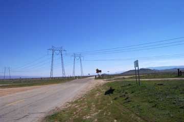
| This photo is at the intersection of State Highway 58 and 7 Mile Road. Continuing on 58 for 52 miles takes you to Santa Margarita.--> | |||||||||||
|
|||||||||||
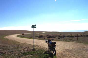
| <--This is the intersection of Elkhorn Road and 7 Mile Road. It's on the paved section of 7 Mile, about 300 yards from the intersection with Hwy 58.
From here you can take Elkhorn 2.8 miles to Simmler Road, 13 miles to Panorama Road, or 38 miles to Soda Lake Road at the South end of the Monument. |
|||||||||||
|
|||||||||||